报告时间:2014年12月4日(周四)14:30
报告地点:科学会堂二楼会议室
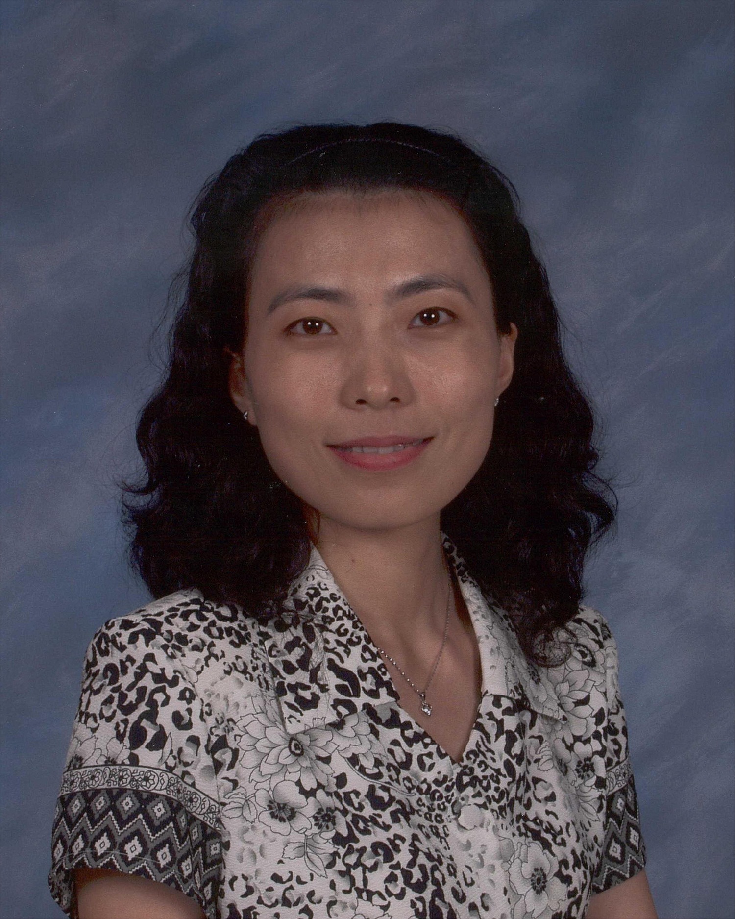
报告人:杜谦教授(Jenny Q. Du)(美国密西西比州州立大学电子信息与计算机工程系)
摘要: Remote sensing is the art and science of obtaining information about an object without being in direct physical contact with the object. Remote Sensing can be used to measure and monitor important biophysical characteristics and human activities on the Earth, in support of decision making. In this seminar, an emerging remote sensing technology, called Hyperspectral Imaging, will be introduced. A spaceborne or airborne hyperspectral imaging sensor can take hundreds of images at different solar wavelengths for the same area on the Earth; due to its very high spectral resolution, more accurate material detection, classification, and quantification may be achieved. Several classical processing and ****ysis methods for hyprespectral imagery will be presented. Some interesting applications, such as urban land-use land-cover mapping, mineral exploration, water pollution detection, flood monitoring, will be discussed.
人物简介:
Qian (Jenny) Du,杜谦博士是美国密西西比州立大学电子信息与计算机工程系教授,发表230余篇SCI杂志论文及会议文章,主要研究方向包括高光谱图像处理与分析等。杜谦博士是IEEE高级会员,兼任国际模式识别协会(IAPR)委员会遥感模式识别(PRRS)主席(2010-2014)、IEEE数据融合委员会(DFTC)联合主席(2009-2013),同时担任IEEE JSTARS、IEEE SPL、SPIE JARS等期刊的特邀主编。个人主页:
Dr. Jenny Q. Du is Bobby Shackouls Professor in the Department of Electrical and Computer Engineering at Mississippi State University. She has been actively conducting research on hyperspectral remote sensing image processing and ****ysis for more than fifteen years, and is an internationally renowned researcher in this field. Dr. Du served as Co-Chair for Data Fusion Technical Committee of IEEE Geoscience and Remote Sensing Society (2009-2013), and currently is Chair for Remote Sensing and Mapping Technical Committee of International Association for Pattern Recognition (2010-2014). Dr. Du is Associate Editor for several prestigious journals, including IEEE Journal of Selected Topics in Applied Earth Observations and Remote Sensing, IEEE Signal Processing Letters, and SPIE Journal of Applied Remote Sensing.

